PRECISION GPS EARTHWORK

Millimeter-Perfect Excavation Using Advanced Technology

Precision GPS Earthwork - Great Lakes Excavating utilizes state-of-the-art GPS technology for unmatched accuracy in earthmoving services across Northern Minnesota.

At Great Lakes Excavating, we set the industry standard for precision through our use of advanced GPS-guided earthwork. Our state-of-the-art equipment fleet, operated by a team of certified professionals, enables us to tackle the most challenging excavation requirements with millimeter accuracy.

Our GPS technology eliminates guesswork and reduces costly errors, ensuring your project is completed exactly to specification the first time. This technology allows us to work more efficiently, saving you time and money while delivering superior results.

HOW GPS EARTHWORK WORKS

Transforming Traditional Excavation With Digital Precision

3D Site Modeling

We begin by creating a detailed 3D digital model of your site based on engineering plans. This model becomes the blueprint that guides our GPS-equipped machinery with millimeter precision.

Real-Time Positioning

Our excavation equipment is fitted with advanced GPS receivers that constantly communicate with satellites to determine exact positioning. Operators see the digital design model in real-time on in-cab displays.

Precise Execution

Machine operators can see exactly where their equipment is in relation to the design grade. This eliminates guesswork and allows for precise cutting, filling, and grading without traditional stakes or strings.

Quality Verification

Throughout the project, we can verify work against the design model in real-time, ensuring accuracy and allowing for immediate corrections if needed, rather than discovering issues later.

Benefits of GPS Earthwork

BENEFITS OF GPS EARTHWORK

Enhanced Accuracy & Efficiency

Our GPS technology allows us to achieve grading accuracy within 0.1 feet or better, significantly reducing material waste and rework. Projects are completed faster with fewer passes required.

Cost Savings

By eliminating staking costs, reducing material waste, and minimizing equipment hours, GPS earthwork typically delivers 20-30% cost savings compared to traditional methods.

Environmental Benefits

Precise grading means less fuel consumption, reduced emissions, and minimal site disturbance, supporting sustainable construction practices.

Benefits of GPS Earthwork

APPLICATIONS

Our GPS Earthwork Technology Excels In These Areas

Commercial Development

Commercial Development

Precise grading for parking lots, building pads, and stormwater management systems.

Residential Development

Residential Development

Accurate foundation preparation and lot grading for optimal drainage and aesthetics.

Infrastructure Projects

Infrastructure Projects

Road construction, utility installation, and public works projects requiring precise elevations.

Complex Terrain

Complex Terrain

Challenging sites with irregular topography, wetlands, or environmental sensitivities.

FREQUENTLY ASKED QUESTIONS

Everything You Need To Know About Precision GPS Earthwork

What accuracy can I expect with GPS earthwork?

Our GPS technology typically achieves accuracy within 0.1 feet vertically and horizontally, which exceeds industry standards and most project specifications. For specialized applications requiring even greater precision, we can implement additional measures to achieve millimeter-level accuracy.

How does weather affect GPS earthwork operations?

While our GPS systems are designed to operate in most weather conditions, extremely heavy precipitation or dense tree cover can occasionally impact satellite signal reception. However, our equipment includes redundant systems and base stations that help maintain accuracy even in challenging conditions.

Is GPS earthwork more expensive than traditional methods?

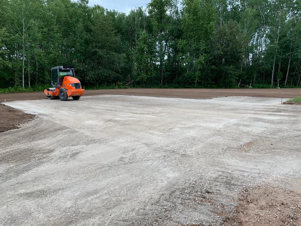
While the initial setup may have slightly higher costs, GPS earthwork typically results in 20-30% overall project savings through reduced material waste, faster completion times, and elimination of traditional staking costs. The precision also minimizes costly rework and adjustments.

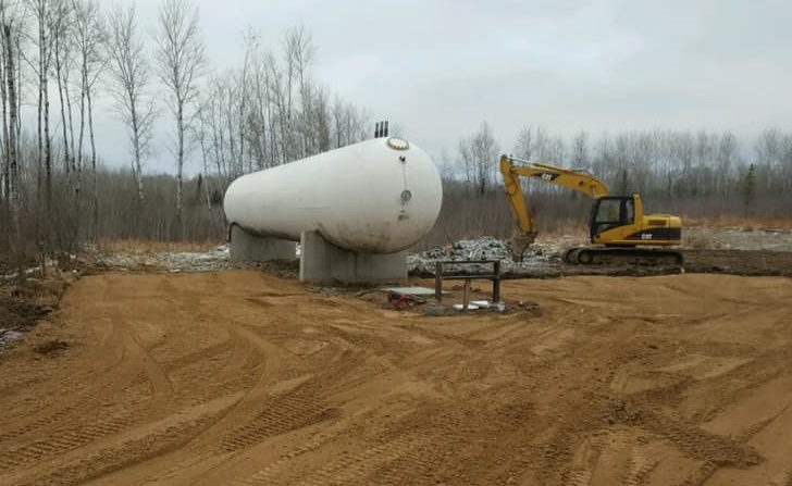
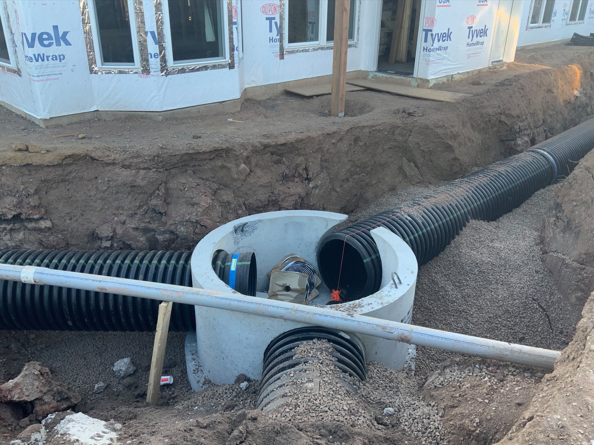
What types of projects benefit most from GPS earthwork?

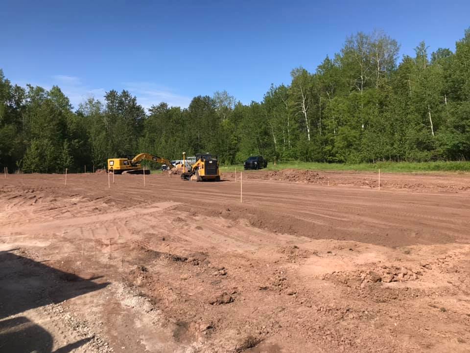
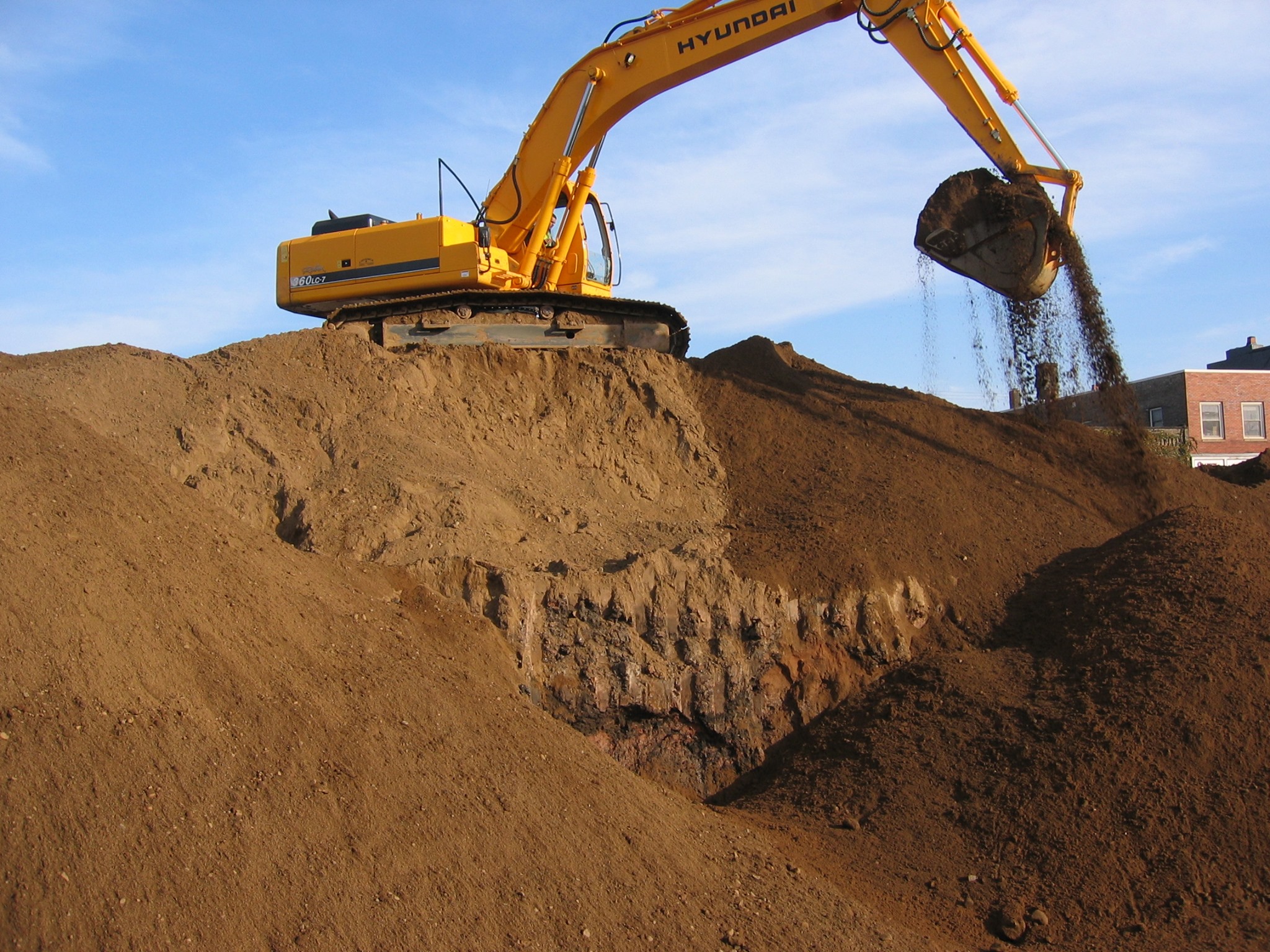
Projects with complex grading requirements, large-scale developments, sites with challenging topography, and any project where precision is critical will see the greatest benefits. However, even smaller projects can benefit from the efficiency and accuracy of GPS technology.

How do you ensure the GPS model matches our engineering plans?

We have a rigorous quality control process that includes multiple verification points. Our team works directly with your engineers to ensure the digital model precisely matches the intended design. Throughout the project, we conduct regular surveys to verify that the completed work matches the specifications.

Can GPS earthwork integrate with Building Information Modeling (BIM)?

Yes, our GPS systems can seamlessly integrate with BIM workflows. This integration allows for enhanced collaboration between design teams and field operations, ensuring that changes are communicated effectively and implemented precisely.

READY FOR PRECISION EARTHWORK?

Contact Great Lakes Excavating today for a consultation and discover how our GPS technology can transform your next project.

Get a Free Quote