PRECISION GPS EARTHWORK

Trimble-Powered Accuracy for Every Project in Duluth & Northern Minnesota

Precision GPS Earthwork using Trimble technology in Duluth, MN - Great Lakes Excavating delivers millimeter-accurate excavation for commercial and residential projects.

At Great Lakes Excavating, we invest in state-of-the-art Trimble GPS technology because precision isn't optional—it's the foundation of quality work. With 25+ years serving Duluth and Northern Minnesota, we've seen how the right technology transforms projects.

Our Trimble Earthworks system converts your engineering plans into digital models that guide our equipment with millimeter precision. This isn't just about accuracy—it's about getting your project done right the first time.

OUR TRIMBLE GPS SYSTEM

Industry-Leading Technology for Unmatched Precision

Base Station Setup

We establish a base station at a static point on your site that communicates with our rovers and machinery. This provides the reference point for all positioning data, ensuring consistent accuracy across your entire project.

Rover Technology

Our handheld rover devices allow us to locate and verify survey points with precision. Whether we're shooting building corners or verifying grades, the rover ensures everything sits exactly where it should.

VRS Network Integration

We utilize Virtual Reference Station (VRS) technology—the same system professional surveyors rely on—for real-time corrections that enhance our positioning accuracy to centimeter-level precision.

Trimble Earthworks

Our machines run Trimble Earthworks software that converts DWG files and engineering plans into 3D models. Operators see the design in real-time on in-cab displays, enabling precise execution without traditional stakes.

Benefits of Trimble GPS Earthwork in Duluth

WHY GPS PRECISION MATTERS

Accuracy You Can Trust

When we shoot the corners of your building, you can trust it's sitting in the correct position. Our GPS technology eliminates guesswork and ensures your project meets specifications from day one.

Site Layout & Modeling

We have all the right tools to perform precise site layout and modeling. From initial staking to final grading, every step is verified against the digital plan.

Cost & Time Savings

GPS precision reduces material waste, minimizes rework, and speeds up project completion. When work is done right the first time, everyone saves money.

Benefits of Trimble GPS Earthwork in Duluth

APPLICATIONS

Our GPS Technology Excels Across All Project Types

Commercial Site Grading

Commercial Projects

Precise grading for building pads, parking lots, and stormwater systems throughout Duluth.

Residential Site Layout

Residential Projects

Accurate foundation layout and lot grading for homes across Northern Minnesota.

Utility Installation

Utility Installation

Exact trench depths and alignments for water, sewer, and underground utilities.

Road Construction

Road Construction

Precise subgrade preparation and grading for roadways and infrastructure.

FREQUENTLY ASKED QUESTIONS

Everything You Need To Know About Our GPS Earthwork Services

What accuracy can you achieve with GPS earthwork?

Our Trimble GPS technology typically achieves accuracy within 0.1 feet or better. For projects requiring even greater precision, we can implement additional measures to achieve centimeter-level accuracy using our VRS integration.

Can you work from my engineer's DWG files?

Yes. Our Trimble Earthworks system converts DWG files directly into 3D models that our equipment uses in the field. This seamless integration ensures your engineering plans are executed exactly as designed.

How does GPS earthwork save money on my project?

GPS precision reduces material over-excavation, eliminates traditional staking costs, and minimizes rework from errors. Most projects see 20-30% savings compared to conventional methods.

Do you still need a surveyor for GPS earthwork?

We work alongside surveyors and can integrate their data into our systems. Our GPS technology complements surveying services—we use VRS networks that surveyors rely on for our positioning data.

What happens in poor weather conditions?

Our Trimble equipment includes redundant systems and base stations that maintain accuracy even in challenging conditions. Heavy precipitation or dense tree cover can occasionally impact reception, but our equipment is designed for Northern Minnesota's demanding environment.

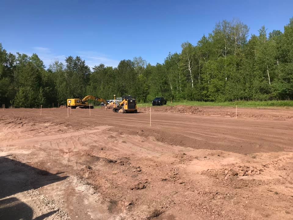
What projects benefit most from GPS earthwork?

Any project where precision matters benefits from GPS technology. Complex grading, utility installation, foundation layout, and large-scale developments see the greatest advantages, but even smaller residential projects benefit from the accuracy and efficiency.

READY FOR PRECISION EARTHWORK?

Contact Great Lakes Excavating today for a consultation and discover how our Trimble GPS technology can transform your Duluth area project.

Get a Free Quote